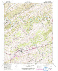
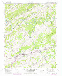
1958 Map of Lebanon
USGS Topo · Published 1992About this map
Lebanon serves as the focal point of this Southwest Virginia landscape, situated just north of the prominent Clinch Mountain. The mid-century topography reveals a community structured by steep ridges and narrow hollows, with the Clinch River meandering through the northern portion of the quadrangle. Significant family and community history is preserved through dozens of small burial grounds, such as Musick Cem, Sykes Cem, and the Russell Memorial Cem.
Find a feature on this map
90 named features on this map. Tap any name to fly to it.
Don’t see what you’re looking for? This feature index may not catch every label — zoom into the map to look around manually.
Map Details
Editions of this 1958 Lebanon Map
5 editions found
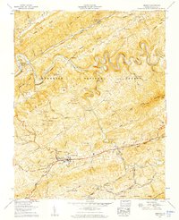
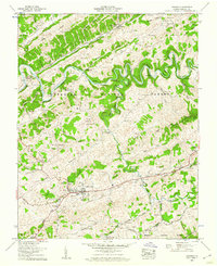
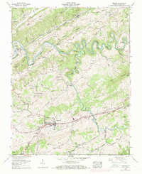
Other maps of this area

1886 · Grundy
USGS Topo · 1:125,000

1890 · Grundy
USGS Topo · 1:125,000

1891 · Tazewell
USGS Topo · 1:125,000

1891 · Abingdon
USGS Topo · 1:125,000

1892 · Grundy
USGS Topo · 1:125,000

1894 · Abingdon
USGS Topo · 1:125,000

1895 · Tazewell
USGS Topo · 1:125,000

1897 · Tazewell
USGS Topo · 1:125,000

1897 · Bristol
USGS Topo · 1:125,000

1902 · Bristol
USGS Topo · 1:125,000