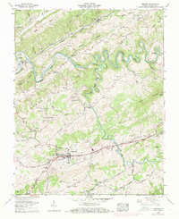
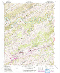
1958 Map of Lebanon
USGS Topo · Published 1971About this map
Lebanon sits at the heart of this Russell County landscape, shown as it appeared in the late 1950s with updates through 1969. The town's grid, featuring an athletic field and the nearby Slabtown, is bounded by the winding course of Little Cedar Creek and the long expanse of Clinch Mountain to the south. Northward, the Clinch River carves deep, dramatic bends around Copper Ridge, marking its miles at points like Mile 280.
Find a feature on this map
85 named features on this map. Tap any name to fly to it.
Don’t see what you’re looking for? This feature index may not catch every label — zoom into the map to look around manually.
Map Details
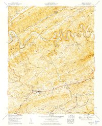
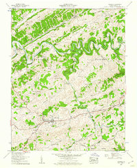
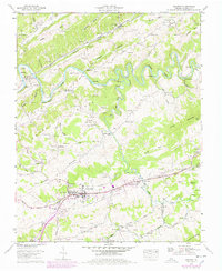
Editions of this 1958 Lebanon Map
5 editions found
Other maps of this area

1886 · Grundy
USGS Topo · 1:125,000

1890 · Grundy
USGS Topo · 1:125,000

1891 · Tazewell
USGS Topo · 1:125,000

1891 · Abingdon
USGS Topo · 1:125,000

1892 · Grundy
USGS Topo · 1:125,000

1894 · Abingdon
USGS Topo · 1:125,000

1895 · Tazewell
USGS Topo · 1:125,000

1897 · Tazewell
USGS Topo · 1:125,000

1897 · Bristol
USGS Topo · 1:125,000

1902 · Bristol
USGS Topo · 1:125,000