2024 Map of Lebanon
USGS Topo · Published 2024About this map
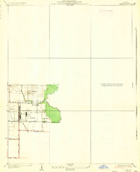
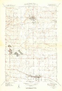
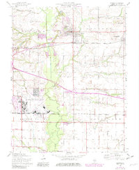
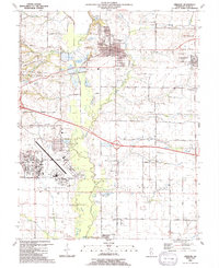
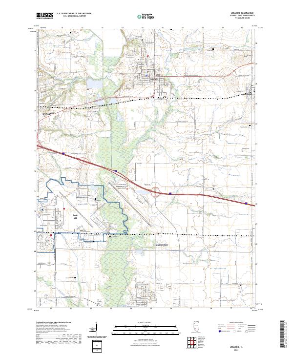
The historic campus of McKendree University anchors the town of Lebanon, where the local landscape transitions from the developed streets of the city to the broad, wooded floodplain of Silver Creek. This modern survey reveals the extensive footprint of Scott Air Force Base/MidAmerica St Louis Airport dominating the southwestern portion of the quadrangle. The map is particularly rich for family history research, documenting numerous rural burial grounds such as Saint Joseph Catholic Cem, College Hill Cem, and Perschbacher Cem. Transport patterns are defined by the CSX Transportation line and a network of named country roads like Oak Hill School Rd and Rieder Rd, which connect the outlying settlements of Summerfield and Mascoutah to the regional centers. The topography is largely gentle, punctuated by localized features like Berger Hill and the recreational waters of Scott Lake and Mascoutah Lake.
Find a feature on this map
140 named features on this map. Tap any name to fly to it.
Don’t see what you’re looking for? This feature index may not catch every label — zoom into the map to look around manually.
Map Details
Editions of this 2024 Lebanon Map
This is the sole edition of this map. No revisions or reprints were ever made.
Historical Maps of O'Fallon Through Time
5 maps found