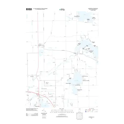
2013 Map of Leesburg
USGS Topo · Published 2013About this map
Leesburg and Oswego anchor this portion of Kosciusko County, where the Tippecanoe River meanders through a landscape defined by its glacial lakes and intricate drainage system. The map reveals a high concentration of recreational and residential developments along the shorelines, particularly around Tippecanoe Lake and Little Chapman Lake. Several historic landings, including Stoneburner Landing, Osborn Landing, and DeFries Landing, indicate a long-standing culture of water access and seasonal settlement.
Find a feature on this map
40 named features on this map. Tap any name to fly to it.
Don’t see what you’re looking for? This feature index may not catch every label — zoom into the map to look around manually.
Map Details
Editions of this 2013 Leesburg Map
This is the sole edition of this map. No revisions or reprints were ever made.
Other maps of this area

1950 · Leesburg
USGS Topo · 1:24,000

1950 · Pierceton
USGS Topo · 1:24,000

1950 · North Webster
USGS Topo · 1:24,000

1951 · Milford
USGS Topo · 1:24,000

1951 · Wawasee
USGS Topo · 1:24,000

1953 · Fort Wayne
USGS Topo · 1:250,000

1956 · Fort Wayne
USGS Topo · 1:250,000

1957 · Warsaw
USGS Topo · 1:24,000

1958 · Nappanee East
USGS Topo · 1:24,000

1959 · Atwood
USGS Topo · 1:24,000