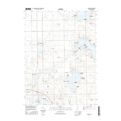
2016 Map of Leesburg
USGS Topo · Published 2016About this map
Tippecanoe Lake and its surrounding wetlands define the northern landscape of this region, where the glacial legacy of Kosciusko County is clearly visible in the dense cluster of kettle lakes and complex drainage networks. The settlement of Leesburg serves as a central hub, connected by a grid of rural routes to smaller hamlets like Oswego and Monoquet along the winding Tippecanoe River. This area is marked by numerous recreational points and historical lakefront access sites, including Stoneburner Landing and Osborn Landing on the shores of Big Chapman Lake. To the south, the expansion of Warsaw is evident near Pike Lake and the Warsaw Municipal Airport, showing a transition from the agricultural and lake-based economies of the north to more concentrated urban development. Notable local landmarks such as McElroy Hill and the Groves Cem provide specific points of interest for those tracing family history in this corner of Indiana.
Find a feature on this map
115 named features on this map. Tap any name to fly to it.
Don’t see what you’re looking for? This feature index may not catch every label — zoom into the map to look around manually.
Map Details
Editions of this 2016 Leesburg Map
This is the sole edition of this map. No revisions or reprints were ever made.
Other maps of this area

1950 · Leesburg
USGS Topo · 1:24,000

1950 · Pierceton
USGS Topo · 1:24,000

1950 · North Webster
USGS Topo · 1:24,000

1951 · Milford
USGS Topo · 1:24,000

1951 · Wawasee
USGS Topo · 1:24,000

1953 · Fort Wayne
USGS Topo · 1:250,000

1956 · Fort Wayne
USGS Topo · 1:250,000

1957 · Warsaw
USGS Topo · 1:24,000

1958 · Nappanee East
USGS Topo · 1:24,000

1959 · Atwood
USGS Topo · 1:24,000