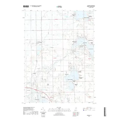
2019 Map of Leesburg
USGS Topo · Published 2019About this map
Warsaw and the surrounding lake country of northern Indiana are defined by a complex network of glacial waterways and drainage ditches. The upper reach of the Tippecanoe River winds through the landscape, connecting major water bodies like Tippecanoe Lake and Little Chapman Lake. Smaller settlements such as Leesburg, Oswego, and Monoquet are linked by a grid of county roads, while several lakeside landings including DeFries Landing and Stoneburner Landing indicate the area's long-standing orientation toward water-based recreation and access.
Find a feature on this map
129 named features on this map. Tap any name to fly to it.
Don’t see what you’re looking for? This feature index may not catch every label — zoom into the map to look around manually.
Map Details
Editions of this 2019 Leesburg Map
This is the sole edition of this map. No revisions or reprints were ever made.
Other maps of this area

1950 · Leesburg
USGS Topo · 1:24,000

1950 · Pierceton
USGS Topo · 1:24,000

1950 · North Webster
USGS Topo · 1:24,000

1951 · Milford
USGS Topo · 1:24,000

1951 · Wawasee
USGS Topo · 1:24,000

1953 · Fort Wayne
USGS Topo · 1:250,000

1956 · Fort Wayne
USGS Topo · 1:250,000

1957 · Warsaw
USGS Topo · 1:24,000

1958 · Nappanee East
USGS Topo · 1:24,000

1959 · Atwood
USGS Topo · 1:24,000