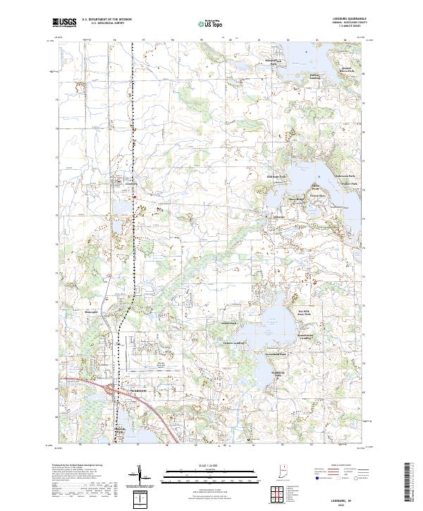
2022 Map of Leesburg
USGS Topo · Published 2022About this map
The Tippecanoe River winds through this glacial landscape, connecting a chain of significant water bodies including Tippecanoe Lake, Little Chapman Lake, and Stanton Lake. Near the northern edge of Warsaw, the terrain is defined by an intricate network of drainage features like Heeter Ditch and Hickman Ditch, which support the region's agricultural and municipal development. The mapping shows a distinct transition from the dense street grid of Leesburg and the shores of Pike Lake to the more open residential clusters around Oswego and Monoquet.
Find a feature on this map
156 named features on this map. Tap any name to fly to it.
Don’t see what you’re looking for? This feature index may not catch every label — zoom into the map to look around manually.
Map Details
Editions of this 2022 Leesburg Map
This is the sole edition of this map. No revisions or reprints were ever made.
Other maps of this area

1950 · Leesburg
USGS Topo · 1:24,000

1950 · Pierceton
USGS Topo · 1:24,000

1950 · North Webster
USGS Topo · 1:24,000

1951 · Milford
USGS Topo · 1:24,000

1951 · Wawasee
USGS Topo · 1:24,000

1953 · Fort Wayne
USGS Topo · 1:250,000

1956 · Fort Wayne
USGS Topo · 1:250,000

1957 · Warsaw
USGS Topo · 1:24,000

1958 · Nappanee East
USGS Topo · 1:24,000

1959 · Atwood
USGS Topo · 1:24,000