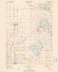
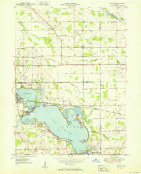
1950 Map of Leesburg
USGS Topo · Published 1952About this map
Lake Tippecanoe and the Tippecanoe River anchor this mid-century landscape in northern Indiana, where a dense network of glacial lakes defines the local geography. The settlement of Leesburg sits at a rail crossroads, served by both the New York Central Railroad and the Winona Railroad. This period of the 1950s shows a region transitioning from traditional agriculture toward a recreational economy, evidenced by the numerous named parks and landings rimming the shorelines, such as Potawatomi Park and Stoneberger Landing.
Find a feature on this map
54 named features on this map. Tap any name to fly to it.
Don’t see what you’re looking for? This feature index may not catch every label — zoom into the map to look around manually.
Map Details
Editions of this 1950 Leesburg Map
2 editions found
Other maps of this area

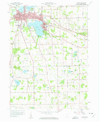
1950 · Leesburg
USGS Topo · 1:24,000
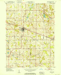
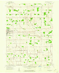
1950 · Pierceton
USGS Topo · 1:24,000
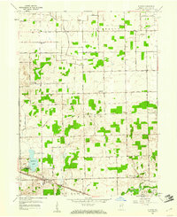
1950 · North Webster
USGS Topo · 1:24,000
1951 · Milford
USGS Topo · 1:24,000
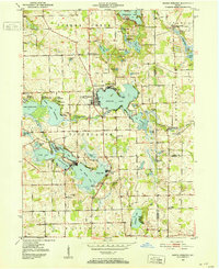
1951 · Wawasee
USGS Topo · 1:24,000

1953 · Fort Wayne
USGS Topo · 1:250,000

1956 · Fort Wayne
USGS Topo · 1:250,000
1957 · Warsaw
USGS Topo · 1:24,000
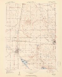
1958 · Nappanee East
USGS Topo · 1:24,000
1959 · Atwood
USGS Topo · 1:24,000