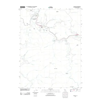
2012 Map of Leggett
USGS Topo · Published 2012About this map
The S Fork Eel River defines the central topography of this Northern California survey, winding through a landscape of steep ridges and narrow flats. At the northern end, the community of Leggett sits near the junction of major travel corridors, surrounded by local landmarks like Underwood Park and the noted Chandelier Tree. The settlement pattern follows the river and the road network, with clusters of activity at South Leggett and further east at Cummings.
Find a feature on this map
48 named features on this map. Tap any name to fly to it.
Don’t see what you’re looking for? This feature index may not catch every label — zoom into the map to look around manually.
Map Details
Editions of this 2012 Leggett Map
This is the sole edition of this map. No revisions or reprints were ever made.
Other maps of this area

1920 · Cummings
USGS Topo · 1:62,500

1921 · Westport
USGS Topo · 1:62,500

1921 · Branscomb
USGS Topo · 1:62,500

1950 · Piercy
USGS Topo · 1:62,500

1950 · Cape Vizcaino
USGS Topo · 1:62,500

1951 · Cape Vizcaino
USGS Topo · 1:62,500

1951 · Branscomb
USGS Topo · 1:62,500

1952 · Leggett
USGS Topo · 1:62,500

1957 · Ukiah
USGS Topo · 1:250,000

1960 · Ukiah
USGS Topo · 1:250,000