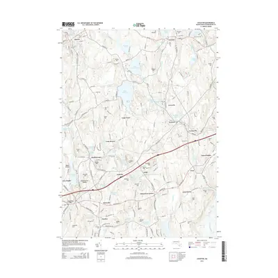
2015 Map of Leicester
USGS Topo · Published 2015About this map
Stiles Reservoir and the headwaters of the Little River define the landscape of central Worcester County in this 2015 study. The map shows a cluster of industrial-era heritage sites including Watson Millpond, Clarks Mill Pond, and Cider Millpond, reflecting the area's deep history with water-powered manufacturing. Numerous small settlements such as Charlton Depot, Rochdale, and Cominsville are clearly delineated, showing the expansion of residential life around traditional village centers like Leicester and Spencer. Genealogists will find a wealth of burial grounds recorded, from the Saint Josephs Cem in the north to the Bay Path Cem in the south. The map also highlights the recreational evolution of the land, featuring several organized camps like Camp Neyati and Camp Bement situated among the high points of Mt Pleasant and Ballard Hill.
Find a feature on this map
201 named features on this map. Tap any name to fly to it.
Don’t see what you’re looking for? This feature index may not catch every label — zoom into the map to look around manually.
Map Details
Editions of this 2015 Leicester Map
This is the sole edition of this map. No revisions or reprints were ever made.
Other maps of this area

1885 · Worcester
USGS Topo · 1:62,500

1886 · Worcester
USGS Topo · 1:62,500

1887 · Brookfield
USGS Topo · 1:62,500

1887 · Barre
USGS Topo · 1:62,500

1889 · Webster
USGS Topo · 1:62,500

1889 · Barre
USGS Topo · 1:62,500

1890 · Brookfield
USGS Topo · 1:62,500

1892 · Webster
USGS Topo · 1:62,500

1892 · Worcester
USGS Topo · 1:62,500

1893 · Brookfield
USGS Topo · 1:62,500