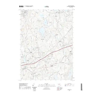
2021 Map of Leicester
USGS Topo · Published 2021About this map
Spencer and Leicester anchor the northern reaches of this Worcester County landscape, where the geography is defined by a dense network of reservoirs, ponds, and glacial hills. The French River and Kettle Brook drain the region, supporting clusters of industrial and residential development in villages like Rochdale, Greenville, and Charlton City. This modern survey illustrates the persistent importance of early transportation corridors, such as the Midstate Trl and the Old Worcester Rd, which wind through the upland terrain of Gately Hill and Ballard Hill.
Find a feature on this map
99 named features on this map. Tap any name to fly to it.
Don’t see what you’re looking for? This feature index may not catch every label — zoom into the map to look around manually.
Map Details
Editions of this 2021 Leicester Map
This is the sole edition of this map. No revisions or reprints were ever made.
Other maps of this area

1885 · Worcester
USGS Topo · 1:62,500

1886 · Worcester
USGS Topo · 1:62,500

1887 · Brookfield
USGS Topo · 1:62,500

1887 · Barre
USGS Topo · 1:62,500

1889 · Webster
USGS Topo · 1:62,500

1889 · Barre
USGS Topo · 1:62,500

1890 · Brookfield
USGS Topo · 1:62,500

1892 · Webster
USGS Topo · 1:62,500

1892 · Worcester
USGS Topo · 1:62,500

1893 · Brookfield
USGS Topo · 1:62,500