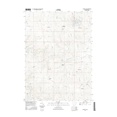
2015 Map of Leisure Lake
USGS Topo · Published 2015About this map
The North Fork Maquoketa River carves through this portion of Jackson County, anchoring a landscape dotted with small rural communities and historic family burial sites. The map records several long-established settlements such as Crab Town, Emeline, and Ironhills, which serve as focal points for the surrounding agricultural tracts. Significant for genealogical research, numerous cemeteries are scattered across the terrain, including the Saint Aloysius Cem near South Garry Owen and the family-associated Tracy Farm Cem and Griffin Estate Cem. To the north, the residential development around Leisure Lake contrasts with the more traditional farmland to the south.
Find a feature on this map
83 named features on this map. Tap any name to fly to it.
Don’t see what you’re looking for? This feature index may not catch every label — zoom into the map to look around manually.
Map Details
Editions of this 2015 Leisure Lake Map
This is the sole edition of this map. No revisions or reprints were ever made.
Other maps of this area

1891 · Maquoketa
USGS Topo · 1:62,500

1891 · Baldwin
USGS Topo · 1:62,500

1901 · Peosta
USGS Topo · 1:125,000

1935 · East Dubuque
USGS Topo · 1:62,500

1940 · East Dubuque
USGS Topo · 1:62,500

1959 · Dubuque
USGS Topo · 1:250,000

1961 · Dubuque
USGS Topo · 1:250,000

1962 · Dubuque
USGS Topo · 1:250,000

1962 · Zwingle
USGS Topo · 1:24,000
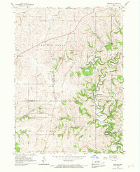
1966 · Bernard
USGS Topo · 1:24,000