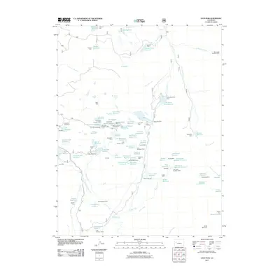
2011 Map of Leon Peak
USGS Topo · Published 2011About this map
Leon Peak dominates the center of this high-elevation landscape in Mesa County, serving as the hydrological focal point for a complex network of reservoirs and creeks. This 2011 survey illustrates a sophisticated water management system characterized by numerous small impoundments and dams, such as Vela Reservoir and the Kenney Creek Reservoir, which capture snowmelt and runoff. The presence of the Leon Tunnel between Leon Lake and Leon Park Reservoir indicates significant engineering efforts to divert and control water flow across the Grand Mesa region.
Find a feature on this map
114 named features on this map. Tap any name to fly to it.
Don’t see what you’re looking for? This feature index may not catch every label — zoom into the map to look around manually.
Map Details
Editions of this 2011 Leon Peak Map
This is the sole edition of this map. No revisions or reprints were ever made.
Other maps of this area

1955 · Collbran
USGS Topo · 1:24,000

1955 · Grand Mesa
USGS Topo · 1:24,000

1955 · The Meadows
USGS Topo · 1:24,000

1956 · Montrose
USGS Topo · 1:250,000

1957 · Leadville
USGS Topo · 1:250,000

1959 · Leadville
USGS Topo · 1:250,000

1959 · Montrose
USGS Topo · 1:250,000

1960 · Leadville
USGS Topo · 1:250,000

1960 · Montrose
USGS Topo · 1:250,000

1960 · Leon Peak
USGS Topo · 1:24,000