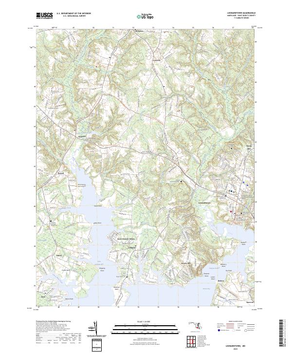
2023 Map of Leonardtown
USGS Topo · Published 2023About this map
The Saint Mary's County Courthouse serves as the historic and administrative anchor of Leonardtown, overlooking the expansive waters where Saint Clements Bay and Breton Bay define the Southern Maryland landscape. This coastal region is characterized by a high density of religious and commemorative sites, from the Old Saint Aloysius Cem to the Saint Francis Xavier Parish Cem on Newtown Neck. The peninsula's maritime geography is etched with numerous named points such as Guest Point and Mulberry Point, while inland, the Potomac Heritage National Scenic Trl winds through the rural crossroads of Clements and Loveville. Small-scale aviation markers like Clements Airport and the presence of the College of Southern Maryland Leonardtown Campus highlight the modern evolution of these centuries-old tidewater settlements.
Find a feature on this map
59 named features on this map. Tap any name to fly to it.
Don’t see what you’re looking for? This feature index may not catch every label — zoom into the map to look around manually.
Map Details
Editions of this 2023 Leonardtown Map
This is the sole edition of this map. No revisions or reprints were ever made.
Other maps of this area

1892 · Leonardtown
USGS Topo · 1:62,500

1892 · Piney Point
USGS Topo · 1:62,500

1892 · Montross
USGS Topo · 1:62,500

1894 · Wicomico
USGS Topo · 1:62,500

1894 · Piney Point
USGS Topo · 1:62,500

1895 · Wicomico
USGS Topo · 1:62,500

1895 · Leonardtown
USGS Topo · 1:62,500

1895 · Nomini
USGS Topo · 1:125,000

1895 · Piney Point
USGS Topo · 1:62,500

1895 · Montross
USGS Topo · 1:62,500