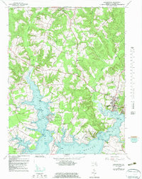
1963 Map of Leonardtown
USGS Topo · Published 1983About this map
Leonardtown serves as the focal point of this coastal Maryland survey, where the seat of St. Mary's County meets the tidal reaches of Breton Bay. The landscape is defined by the fingers of St Clements Bay and numerous creeks like McIntosh Run and Canoe Neck Creek that carve into the low-lying peninsula. This 1963 mapping captures a community deeply rooted in its parish history, evidenced by the concentration of institutional landmarks such as St Marys Academy, Leonard Hall Sch, and St Aloysius Ch.
Find a feature on this map
75 named features on this map. Tap any name to fly to it.
Don’t see what you’re looking for? This feature index may not catch every label — zoom into the map to look around manually.
Map Details
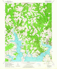
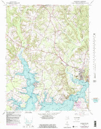
Editions of this 1963 Leonardtown Map
3 editions found
Other maps of this area

1892 · Leonardtown
USGS Topo · 1:62,500

1892 · Piney Point
USGS Topo · 1:62,500

1892 · Montross
USGS Topo · 1:62,500

1894 · Wicomico
USGS Topo · 1:62,500

1894 · Piney Point
USGS Topo · 1:62,500

1895 · Wicomico
USGS Topo · 1:62,500

1895 · Leonardtown
USGS Topo · 1:62,500

1895 · Nomini
USGS Topo · 1:125,000

1895 · Piney Point
USGS Topo · 1:62,500

1895 · Montross
USGS Topo · 1:62,500