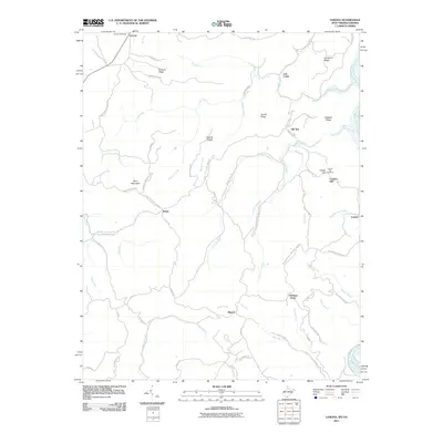
2011 Map of Lerona
USGS Topo · Published 2011About this map
The Lerona Post Office anchors this section of Mercer County, situated in a high-elevation landscape defined by significant ridges and narrow creek valleys. Small settlements like Pettry, Hill Top, and Elgood are connected by a network of winding roads such as the Red Sulphur Turn Pike and Elgood-Adairs Run Road. The terrain is dominated by prominent features like Bent Mountain, Hackett Ridge, and Chestnut Knob, while the southeastern corner is marked by a bend in the New River. Genealogists may find particular interest in the Cashs Hill Cemetery located near the community of Cashers Hill. The map demonstrates a classic Appalachian settlement pattern, where residences and small crossroads cling to the more level ground above the steep drainages of Lick Creek and Island Creek.
Find a feature on this map
69 named features on this map. Tap any name to fly to it.
Don’t see what you’re looking for? This feature index may not catch every label — zoom into the map to look around manually.
Map Details
Editions of this 2011 Lerona Map
This is the sole edition of this map. No revisions or reprints were ever made.
Other maps of this area

1887 · Pocahontas
USGS Topo · 1:125,000

1887 · Hinton
USGS Topo · 1:125,000

1890 · Dublin
USGS Topo · 1:125,000

1891 · Pocahontas
USGS Topo · 1:125,000

1891 · Dublin
USGS Topo · 1:125,000

1891 · Raleigh
USGS Topo · 1:125,000

1892 · Hinton
USGS Topo · 1:125,000

1894 · Pocahontas
USGS Topo · 1:125,000

1895 · Pocahontas
USGS Topo · 1:125,000

1897 · Raleigh
USGS Topo · 1:125,000