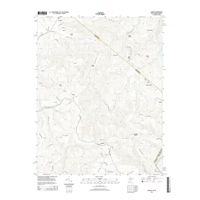
2014 Map of Lerona
USGS Topo · Published 2014About this map
The ridge-and-valley landscape of Mercer County is defined by a network of rural hamlets and family-named landmarks. Settlements such as Lerona and Pettry are situated along high ground, connected by historic routes like the Red Sulphur Tpke. The terrain is characterized by a series of prominent elevations including Bent Mtn and Chestnut Knob, which separate the various drainages feeding the New River at the eastern boundary. Genealogists can locate family-named features like Cashers Hill Cem and Browns Ridge, while the presence of Nash Spring and several named forks like Spruce Fork illustrate the importance of water sources in this upland environment. The survey also captures the transition from West Virginia into Giles County, Virginia, tracing the winding paths of Elgood Rd and Pettry Rd across the ridges.
Find a feature on this map
90 named features on this map. Tap any name to fly to it.
Don’t see what you’re looking for? This feature index may not catch every label — zoom into the map to look around manually.
Map Details
Editions of this 2014 Lerona Map
This is the sole edition of this map. No revisions or reprints were ever made.
Other maps of this area

1887 · Pocahontas
USGS Topo · 1:125,000

1887 · Hinton
USGS Topo · 1:125,000

1890 · Dublin
USGS Topo · 1:125,000

1891 · Pocahontas
USGS Topo · 1:125,000

1891 · Dublin
USGS Topo · 1:125,000

1891 · Raleigh
USGS Topo · 1:125,000

1892 · Hinton
USGS Topo · 1:125,000

1894 · Pocahontas
USGS Topo · 1:125,000

1895 · Pocahontas
USGS Topo · 1:125,000

1897 · Raleigh
USGS Topo · 1:125,000