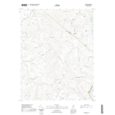
2019 Map of Lerona
USGS Topo · Published 2019About this map
Lerona and its neighboring rural settlements in Mercer County are defined by a complex network of ridges and watercourses along the West Virginia-Virginia border. High points like Chestnut Knob and Bent Mountain overlook a landscape carved by the New River and its numerous tributaries, including Lick Creek and Adair Run. The map illustrates a primarily residential and agricultural distribution, with small communities such as Pettry, Elgood, and Lovern connected by local routes like the Red Sulphur Tpke.
Find a feature on this map
110 named features on this map. Tap any name to fly to it.
Don’t see what you’re looking for? This feature index may not catch every label — zoom into the map to look around manually.
Map Details
Editions of this 2019 Lerona Map
This is the sole edition of this map. No revisions or reprints were ever made.
Other maps of this area

1887 · Pocahontas
USGS Topo · 1:125,000

1887 · Hinton
USGS Topo · 1:125,000

1890 · Dublin
USGS Topo · 1:125,000

1891 · Pocahontas
USGS Topo · 1:125,000

1891 · Dublin
USGS Topo · 1:125,000

1891 · Raleigh
USGS Topo · 1:125,000

1892 · Hinton
USGS Topo · 1:125,000

1894 · Pocahontas
USGS Topo · 1:125,000

1895 · Pocahontas
USGS Topo · 1:125,000

1897 · Raleigh
USGS Topo · 1:125,000