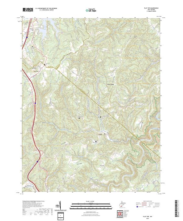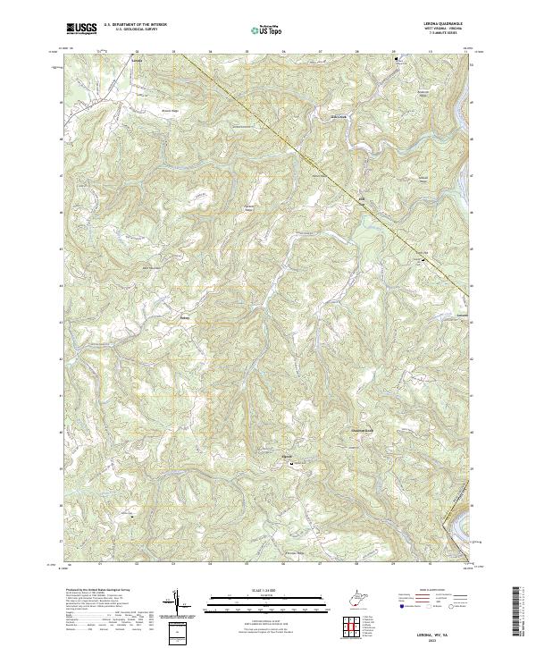
2023 Map of Lerona
USGS Topo · Published 2023About this map
Lerona and the surrounding Mercer County uplands are defined by a series of prominent ridges and deep creek valleys that have historically shaped local settlement and transit. This modern survey illustrates how small communities like Pettry and Elgood are situated along the high ground, while the New River carves the landscape at the southeastern corner of the quadrangle. Significant family and community history is preserved in small burial grounds across the area, including the Browns Chapel Cem near Anderson Ridge and the Cashes Hill Cem in the east. The terrain is marked by a complex network of ridges such as Browns Ridge and James Ridge, which dictate the winding paths of local roads and the flow of waterways like Stony Run and Adair Run. This documentation of the West Virginia-Virginia borderlands captures the rural character and genealogical anchors of the region.
Find a feature on this map
109 named features on this map. Tap any name to fly to it.
Don’t see what you’re looking for? This feature index may not catch every label — zoom into the map to look around manually.
Map Details
Editions of this 2023 Lerona Map
This is the sole edition of this map. No revisions or reprints were ever made.
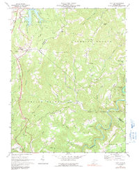
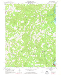
Historical Maps of Lovern Through Time
4 maps found