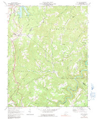
1968 Map of Flat Top
USGS Topo · Published 1991About this map
Flat Top Mountain and Jumping Branch Mountain dominate this corner of West Virginia where Raleigh, Summers, and Mercer counties meet. The landscape is defined by the deep dissection of the Little Bluestone River and Piney Creek, which carve through the high ridges. Modern infrastructure like the West Virginia Turnpike and the Virginia Toll Road follows the natural corridors near Ghent and Flat Top, providing a sharp contrast to the remote rural character of the surrounding hills.
Find a feature on this map
54 named features on this map. Tap any name to fly to it.
Don’t see what you’re looking for? This feature index may not catch every label — zoom into the map to look around manually.
Map Details
Editions of this 1968 Flat Top Map
2 editions found
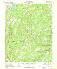
Other maps of this area

1887 · Pocahontas
USGS Topo · 1:125,000

1887 · Hinton
USGS Topo · 1:125,000

1890 · Dublin
USGS Topo · 1:125,000

1891 · Pocahontas
USGS Topo · 1:125,000

1891 · Dublin
USGS Topo · 1:125,000

1891 · Raleigh
USGS Topo · 1:125,000

1892 · Hinton
USGS Topo · 1:125,000

1894 · Pocahontas
USGS Topo · 1:125,000

1895 · Pocahontas
USGS Topo · 1:125,000

1897 · Raleigh
USGS Topo · 1:125,000