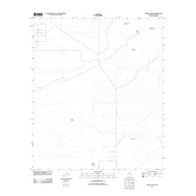
2011 Map of Leslie Canyon
USGS Topo · Published 2011About this map
Swisshelm Mountains dominate the northeastern portion of this Cochise County landscape, where the seasonal drainage of Leslie Creek snakes through the eponymous Leslie Canyon. The terrain is defined by dramatic elevation changes, punctuated by landmarks such as Taylor Butte and Bald Knob. A network of rural and ranch roads provides access to this arid environment, including N Leslie Canyon Rd and N Davis Ranch Rd, which follow the natural contours of the drainages. Settlement patterns are sparse, with most named thoroughfares clustered in the northwest near Cochise Rd and Mohave St. Notable geographic features like Gila Monster Canyon and Indian Canyon illustrate the complex system of washes and draws, such as Mud Springs Draw, that drain the high desert floor.
Find a feature on this map
19 named features on this map. Tap any name to fly to it.
Don’t see what you’re looking for? This feature index may not catch every label — zoom into the map to look around manually.
Map Details
Editions of this 2011 Leslie Canyon Map
This is the sole edition of this map. No revisions or reprints were ever made.
Other maps of this area

1914 · Douglas
USGS Topo · 1:62,500

1916 · Pearce
USGS Topo · 1:125,000

1916 · Douglas
USGS Topo · 1:125,000

1917 · Chiricahua
USGS Topo · 1:125,000

1919 · Douglas
USGS Topo · 1:125,000

1919 · Perilla
USGS Topo · 1:125,000

1919 · Chiricahua
USGS Topo · 1:125,000

1922 · Swisshelm
USGS Topo · 1:62,500

1925 · Douglas
USGS Topo · 1:62,500

1926 · Pedregosa
USGS Topo · 1:62,500