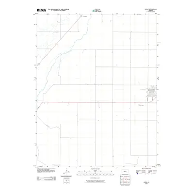
2009 Map of Lewis
USGS Topo · Published 2009About this map
The town of Lewis anchors the eastern edge of this Edwards County landscape, showing a structured grid of residential streets including Main St, Sunnyside, and alphabetical thoroughfares like Ave A. This early 21st-century survey illustrates a largely agricultural expanse defined by section-line roads and the winding path of Coon Creek as it moves through the northwest. Further north, the small settlement of Nettleton sits along the primary highway corridor, representing the sparse but critical network of rural Kansas communities. The inclusion of the Fox Landing Strip south of Lewis highlights the importance of private aviation in managing and traversing these wide prairie stretches. Researchers can trace the exact footprint of local blocks and rural routes such as Co Rd 27, providing a precise record of the county's infrastructure and land use at the end of the first decade of the 2000s.
Find a feature on this map
11 named features on this map. Tap any name to fly to it.
Don’t see what you’re looking for? This feature index may not catch every label — zoom into the map to look around manually.
Map Details
Editions of this 2009 Lewis Map
This is the sole edition of this map. No revisions or reprints were ever made.
Other maps of this area

1889 · Larned
USGS Topo · 1:125,000

1889 · Kinsley
USGS Topo · 1:125,000

1891 · Larned
USGS Topo · 1:125,000

1892 · Kinsley
USGS Topo · 1:125,000

1894 · Kinsley
USGS Topo · 1:125,000

1955 · Great Bend
USGS Topo · 1:250,000

1955 · Pratt
USGS Topo · 1:250,000

1957 · Great Bend
USGS Topo · 1:250,000

1958 · Great Bend
USGS Topo · 1:250,000

1959 · Pratt
USGS Topo · 1:250,000