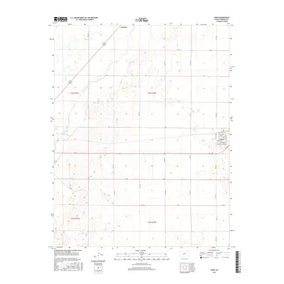
2015 Map of Lewis
USGS Topo · Published 2015About this map
Arkansas River and Coon Cr define the northwestern landscape of this Edwards County quadrangle, where the river valley creates a break in the traditional section-line grid of the High Plains. The town of Lewis serves as the primary hub, laid out on a precise grid with street names like Monroe Ave, Jackson Ave, and Lewis St. A distinctive diagonal thoroughfare, Gerald Olsen Blvd, cuts through the southern residential blocks, while Sunnyside marks the western edge of the town's development.
Find a feature on this map
39 named features on this map. Tap any name to fly to it.
Don’t see what you’re looking for? This feature index may not catch every label — zoom into the map to look around manually.
Map Details
Editions of this 2015 Lewis Map
This is the sole edition of this map. No revisions or reprints were ever made.
Other maps of this area

1889 · Larned
USGS Topo · 1:125,000

1889 · Kinsley
USGS Topo · 1:125,000

1891 · Larned
USGS Topo · 1:125,000

1892 · Kinsley
USGS Topo · 1:125,000

1894 · Kinsley
USGS Topo · 1:125,000

1955 · Great Bend
USGS Topo · 1:250,000

1955 · Pratt
USGS Topo · 1:250,000

1957 · Great Bend
USGS Topo · 1:250,000

1958 · Great Bend
USGS Topo · 1:250,000

1959 · Pratt
USGS Topo · 1:250,000