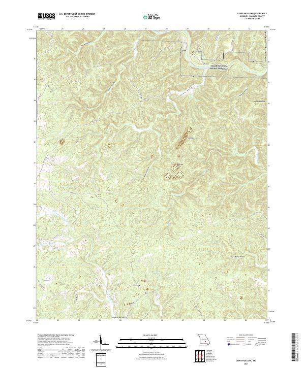
2021 Map of Lewis Hollow
USGS Topo · Published 2021About this map
The Ozark National Scenic Riverway occupies the northeastern corner of this map, protecting the corridor of the Current River as it winds through a landscape of deep hollows and basins. This portion of the Ozarks is characterized by significant karst-like depressions and unique landforms, most notably the large area designated as The Sunkland and the adjacent Burr Oak Basin. These features suggest a complex drainage system where surface water often disappears into the limestone bedrock below.
Find a feature on this map
34 named features on this map. Tap any name to fly to it.
Don’t see what you’re looking for? This feature index may not catch every label — zoom into the map to look around manually.
Map Details
Editions of this 2021 Lewis Hollow Map
This is the sole edition of this map. No revisions or reprints were ever made.
Other maps of this area

1915 · Eminence
USGS Topo · 1:62,500

1917 · Eminence
USGS Topo · 1:62,500

1932 · Cedar Grove
USGS Topo · 1:48,000

1945 · Round Spring
USGS Topo · 1:62,500

1946 · Summersville
USGS Topo · 1:62,500

1947 · Sinkin
USGS Topo · 1:48,000

1948 · Summersville
USGS Topo · 1:62,500

1949 · Round Spring
USGS Topo · 1:62,500

1949 · Rolla
USGS Topo · 1:250,000

1951 · Montauk
USGS Topo · 1:24,000