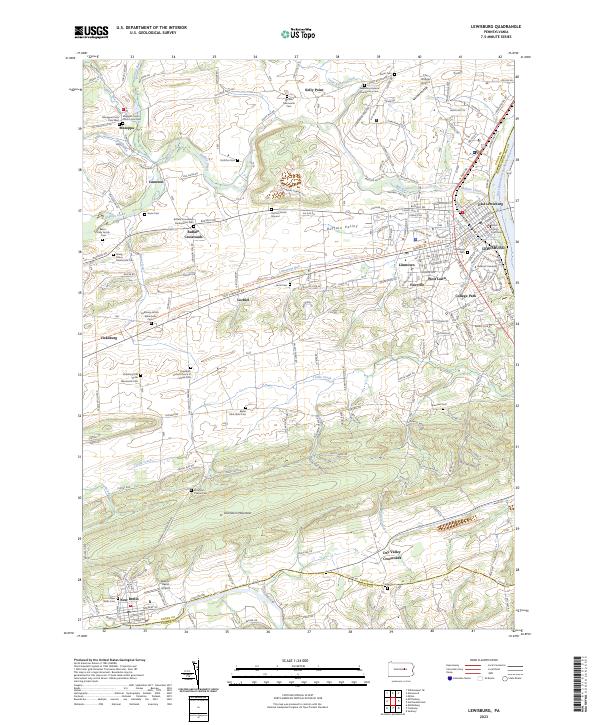
2023 Map of Lewisburg
USGS Topo · Published 2023About this map
The West Branch Susquehanna River forms the eastern boundary of this region, where the town of Lewisburg serves as a prominent hub for education and civic life. The campus of Bucknell University and the Union County Courthouse are central landmarks within the settlement, while the Lewisburg Federal Penitentiary and its associated Lewisburg Federal Penitentiary Cem sit to the north. The landscape is defined by the broad Buffalo Valley, a fertile corridor between Shamokin Mountain and northern ridges that has long supported small agricultural communities like Buffalo Crossroads, Mazeppa, and Vicksburg.
Find a feature on this map
49 named features on this map. Tap any name to fly to it.
Don’t see what you’re looking for? This feature index may not catch every label — zoom into the map to look around manually.
Map Details
Editions of this 2023 Lewisburg Map
This is the sole edition of this map. No revisions or reprints were ever made.
Other maps of this area

1893 · Sunbury
USGS Topo · 1:62,500

1921 · Williamsport
USGS Topo · 1:48,000

1923 · Williamsport
USGS Topo · 1:62,500

1924 · Milton
USGS Topo · 1:62,500

1938 · Mifflinburg
USGS Topo · 1:48,000

1943 · Sunbury
USGS Topo · 1:62,500

1943 · Mifflinburg
USGS Topo · 1:62,500

1944 · Williamsport
USGS Topo · 1:62,500

1950 · Harrisburg
USGS Topo · 1:250,000
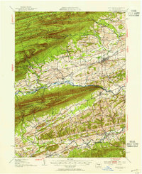
1953 · Mifflinburg
USGS Topo · 1:62,500