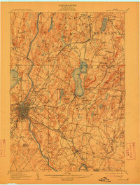
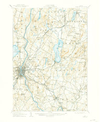
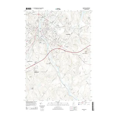
1908 Map of Lewiston
USGS Topo · Published 1912About this map
Industrial and rural Maine intersect along the Androscoggin River at the dawn of the twentieth century. The dense urban grid of Lewiston and New Auburn stands in sharp contrast to the surrounding countryside of Greene, Wales, and Webster. This landscape is defined by its complex transportation network, where traditional lines like the Maine Central Road and its Farmington Branch are augmented by the Lewiston & Brunswick Electric Railway, which linked the mills to outlying communities like Lisbon Falls.
Find a feature on this map
99 named features on this map. Tap any name to fly to it.
Don’t see what you’re looking for? This feature index may not catch every label — zoom into the map to look around manually.
Map Details
Editions of this 1908 Lewiston Map
6 editions found

Historical Maps of Lewiston Through Time
16 maps found
1908 Lewiston
Androscoggin County, ME
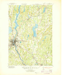
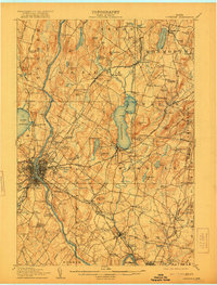
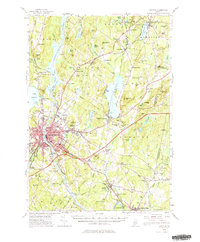
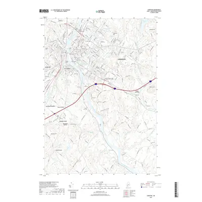
1942 Lewiston
Androscoggin County, ME
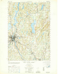
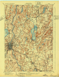
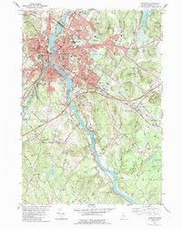
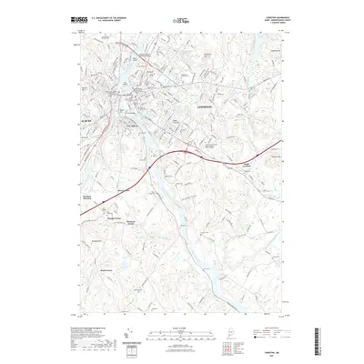
1950 Lewiston
Androscoggin County, ME
1950 Lewiston
Androscoggin County, ME

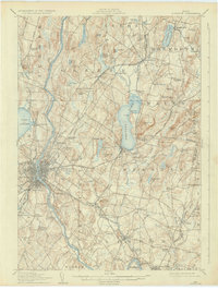
1956 Lewiston
Androscoggin County, ME
1956 Lewiston
Androscoggin County, ME

1961 Lewiston
Androscoggin County, ME

1962 Lewiston
Androscoggin County, ME

1969 Lewiston
Androscoggin County, ME
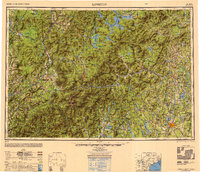
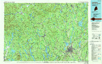
1979 Lewiston
Androscoggin County, ME
1986 Lewiston
Androscoggin County, ME
2011 Lewiston
Androscoggin County, ME
2014 Lewiston
Androscoggin County, ME
2018 Lewiston
Androscoggin County, ME
2021 Lewiston
Androscoggin County, ME
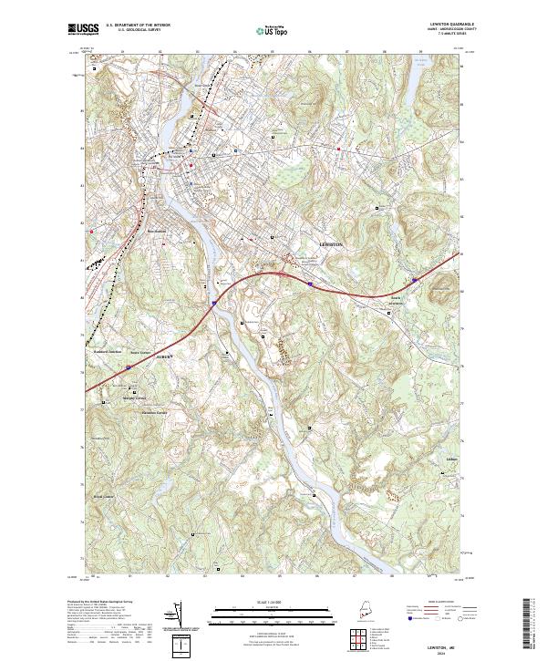
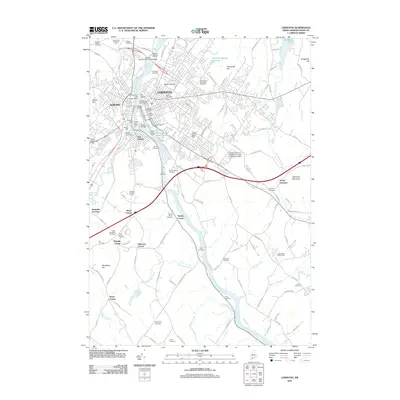
2024 Lewiston
Androscoggin County, ME