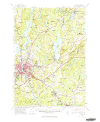
1956 Map of Lewiston
USGS Topo · Published 1980About this map
The industrial and educational hub of Lewiston anchors this mid-century survey of the Androscoggin River valley. The landscape is defined by the dense urban core around Bates College and the surrounding mill towns like Lisbon and Lisbon Center. Transportation networks shape the region's development, from the heavy-duty Maine Turnpike cutting through the center to the established lines of the Maine Central Railroad connecting junctions like Leeds Junction.
Find a feature on this map
153 named features on this map. Tap any name to fly to it.
Don’t see what you’re looking for? This feature index may not catch every label — zoom into the map to look around manually.
Map Details
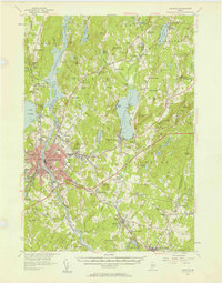
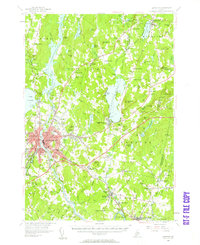
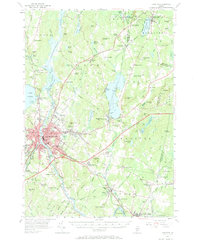
Editions of this 1956 Lewiston Map
4 editions found
Other maps of this area

1892 · Gardiner
USGS Topo · 1:62,500

1892 · Freeport
USGS Topo · 1:62,500

1892 · Augusta
USGS Topo · 1:62,500

1894 · Gray
USGS Topo · 1:62,500

1894 · Bath
USGS Topo · 1:62,500

1898 · Gray
USGS Topo · 1:62,500

1908 · Poland
USGS Topo · 1:62,500

1908 · Lewiston
USGS Topo · 1:62,500

1910 · Livermore
USGS Topo · 1:62,500

1911 · Buckfield
USGS Topo · 1:62,500