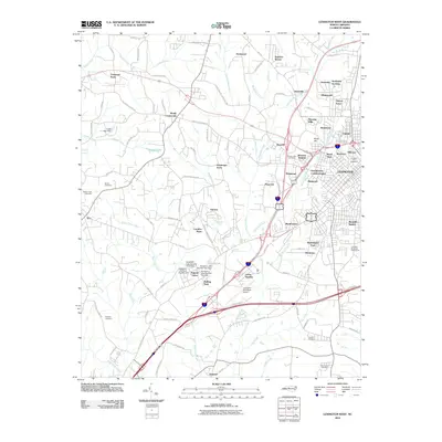
2010 Map of Lexington West
USGS Topo · Published 2010About this map
Lexington serves as the focal point of this Piedmont landscape, surrounded by an intricate web of suburban developments and residential pockets that characterized the area’s growth into the early 21st century. Industrial and textile history is reflected in the Erlanger neighborhood, while newer communities like Carolina Pines, Green Needles, and Rolling Park spread toward the southwest. The terrain is defined by a dense network of tributaries including North Potts Creek and Swearing Creek, with several small impoundments such as Craver Lake and the Sapona Lakes chain—which features a series of three engineered dams—shaping the local drainage.
Find a feature on this map
116 named features on this map. Tap any name to fly to it.
Don’t see what you’re looking for? This feature index may not catch every label — zoom into the map to look around manually.
Map Details
Editions of this 2010 Lexington West Map
This is the sole edition of this map. No revisions or reprints were ever made.
Other maps of this area

1949 · Denton NW
USGS Topo · 1:24,000

1949 · Eller
USGS Topo · 1:24,000

1950 · Lexington East
USGS Topo · 1:24,000

1950 · Lexington West
USGS Topo · 1:24,000

1950 · Churchland
USGS Topo · 1:24,000

1951 · Churchland
USGS Topo · 1:24,000

1951 · Lexington East
USGS Topo · 1:24,000

1951 · Lexington West
USGS Topo · 1:24,000

1953 · Charlotte
USGS Topo · 1:250,000

1954 · Charlotte
USGS Topo · 1:250,000