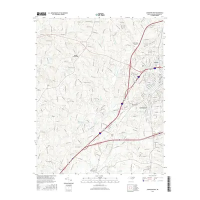
2016 Map of Lexington West
USGS Topo · Published 2016About this map
Lexington serves as the focal point of this Davidson County landscape, characterized by its established residential neighborhoods and the industrial history of the mill village at Erlanger. The map documents the city's western expansion toward Meadowview and Knob Hill, framed by the significant transportation corridor of the Interstate 85 and US Highway 64 interchange. To the southwest, the Davidson County Airport occupies a prominent position, while rural pockets like Tyro and Reeds Crossroads maintain their distinct identities amidst a network of small creeks including Swearing Cr and N Potts Cr.
Find a feature on this map
235 named features on this map. Tap any name to fly to it.
Don’t see what you’re looking for? This feature index may not catch every label — zoom into the map to look around manually.
Map Details
Editions of this 2016 Lexington West Map
This is the sole edition of this map. No revisions or reprints were ever made.
Other maps of this area

1949 · Denton NW
USGS Topo · 1:24,000

1949 · Eller
USGS Topo · 1:24,000

1950 · Lexington East
USGS Topo · 1:24,000

1950 · Lexington West
USGS Topo · 1:24,000

1950 · Churchland
USGS Topo · 1:24,000

1951 · Churchland
USGS Topo · 1:24,000

1951 · Lexington East
USGS Topo · 1:24,000

1951 · Lexington West
USGS Topo · 1:24,000

1953 · Charlotte
USGS Topo · 1:250,000

1954 · Charlotte
USGS Topo · 1:250,000