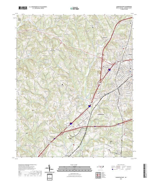
2023 Map of Lexington West
USGS Topo · Published 2023About this map
Lexington serves as the focal point of this Davidson County survey, where urban infrastructure meets the rural Piedmont landscape. The western outskirts of the city are defined by the Davidson County Airport and the historic Davidson County Courthouse, while older neighborhoods like Erlanger and Meadowview illustrate the community's residential development. To the west, the terrain is shaped by a dense network of waterways including Swearing Creek, Dykers Creek, and North Potts Creek, which wind through agricultural lands and smaller crossroads.
Find a feature on this map
267 named features on this map. Tap any name to fly to it.
Don’t see what you’re looking for? This feature index may not catch every label — zoom into the map to look around manually.
Map Details
Editions of this 2023 Lexington West Map
This is the sole edition of this map. No revisions or reprints were ever made.
Other maps of this area

1949 · Denton NW
USGS Topo · 1:24,000

1949 · Eller
USGS Topo · 1:24,000

1950 · Lexington East
USGS Topo · 1:24,000

1950 · Lexington West
USGS Topo · 1:24,000

1950 · Churchland
USGS Topo · 1:24,000

1951 · Churchland
USGS Topo · 1:24,000

1951 · Lexington East
USGS Topo · 1:24,000

1951 · Lexington West
USGS Topo · 1:24,000

1953 · Charlotte
USGS Topo · 1:250,000

1954 · Charlotte
USGS Topo · 1:250,000