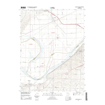
2015 Map of Lexington West
USGS Topo · Published 2015About this map
Missouri River navigation and the distinct geography of the river valley define this region along the border of Ray Co and Lafayette Co. The river makes a sweeping southward curve at Sni Bend, creating a wide floodplain that contains remnants of former channels like Sunshine Lake. On the southern bluffs, the historic river town of Lexington sits overlooking the water, while the smaller settlement of Wellington anchors the western edge of the map.
Find a feature on this map
77 named features on this map. Tap any name to fly to it.
Don’t see what you’re looking for? This feature index may not catch every label — zoom into the map to look around manually.
Map Details
Editions of this 2015 Lexington West Map
This is the sole edition of this map. No revisions or reprints were ever made.
Other maps of this area

1889 · Lexington
USGS Topo · 1:125,000

1894 · Independence
USGS Topo · 1:125,000

1949 · Mayview
USGS Topo · 1:24,000

1949 · Lexington East
USGS Topo · 1:24,000

1949 · Lexington West
USGS Topo · 1:24,000

1949 · Odessa North
USGS Topo · 1:24,000

1950 · Lexington East
USGS Topo · 1:24,000

1950 · Mayview
USGS Topo · 1:24,000

1950 · Kansas City
USGS Topo · 1:250,000

1950 · Odessa North
USGS Topo · 1:24,000