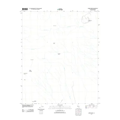
2012 Map of Liebre Twins
USGS Topo · Published 2012About this map
Twin Lakes and the surrounding high-desert rangelands of the Tehachapi Mountains are documented in this 2012 study of the Kern County landscape. The area is defined by a series of significant canyons and ephemeral drainages, including the deeply etched Little Oak Canyon and Woodchoppers Canyon. Local ranching history is evidenced by named homesteads and landmarks like Schamp Ranch, Cluff Ranch, and Basque Encino.
Find a feature on this map
17 named features on this map. Tap any name to fly to it.
Don’t see what you’re looking for? This feature index may not catch every label — zoom into the map to look around manually.
Map Details
Editions of this 2012 Liebre Twins Map
This is the sole edition of this map. No revisions or reprints were ever made.
Other maps of this area

1903 · Tejon
USGS Topo · 1:125,000

1914 · Caliente
USGS Topo · 1:125,000

1915 · Elizabeth Lake
USGS Topo · 1:125,000

1915 · Mojave
USGS Topo · 1:125,000

1917 · Elizabeth Lake
USGS Topo · 1:125,000

1943 · Tehachapi
USGS Topo · 1:62,500

1943 · Cummings Mountain
USGS Topo · 1:62,500

1943 · Neenach
USGS Topo · 1:62,500

1943 · Willow Springs
USGS Topo · 1:62,500

1948 · Bakersfield
USGS Topo · 1:250,000