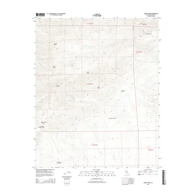
2015 Map of Liebre Twins
USGS Topo · Published 2015About this map
The Tehachapi Mountains and the southern edge of the Sierra Nevada converge on this topographic study of Kern County. The small settlement of Twin Lakes sits in the northeast, where residential streets like Antelope Dr and Cayote Blvd intersect near Brushy Creek Dr. The landscape is dominated by complex drainages and canyons that define the local geography, including the prominent Liebre Twins peaks.
Find a feature on this map
24 named features on this map. Tap any name to fly to it.
Don’t see what you’re looking for? This feature index may not catch every label — zoom into the map to look around manually.
Map Details
Editions of this 2015 Liebre Twins Map
This is the sole edition of this map. No revisions or reprints were ever made.
Other maps of this area

1903 · Tejon
USGS Topo · 1:125,000

1914 · Caliente
USGS Topo · 1:125,000

1915 · Elizabeth Lake
USGS Topo · 1:125,000

1915 · Mojave
USGS Topo · 1:125,000

1917 · Elizabeth Lake
USGS Topo · 1:125,000

1943 · Tehachapi
USGS Topo · 1:62,500

1943 · Cummings Mountain
USGS Topo · 1:62,500

1943 · Neenach
USGS Topo · 1:62,500

1943 · Willow Springs
USGS Topo · 1:62,500

1948 · Bakersfield
USGS Topo · 1:250,000