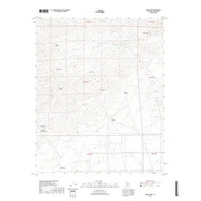
2018 Map of Liebre Twins
USGS Topo · Published 2018About this map
The Tehachapi Mountains and the southern reaches of the Sierra Nevada converge in this high-altitude survey of Kern County. The landscape is defined by an intricate network of drainage systems, including the namesake peaks of the Liebre Twins and numerous named canyons that reveal the complex geography of the region. Waterways like Cottonwood Cr, Sacatara Cr, and El Paso Cr cut through the terrain, leading toward the Twin Lakes in the northeast corner. The map traces several distinct canyons such as Stratton Canyon, Bronco Canyon, and the curiously named Woodchoppers Canyon, providing a detailed view of the natural corridors used for movement through these highlands. To the south, the terrain descends through Cañada del Agua Escondida and Canyon del Gato-Montes, illustrating the steep topographic transitions characteristic of this part of California.
Find a feature on this map
20 named features on this map. Tap any name to fly to it.
Don’t see what you’re looking for? This feature index may not catch every label — zoom into the map to look around manually.
Map Details
Editions of this 2018 Liebre Twins Map
This is the sole edition of this map. No revisions or reprints were ever made.
Other maps of this area

1903 · Tejon
USGS Topo · 1:125,000

1914 · Caliente
USGS Topo · 1:125,000

1915 · Elizabeth Lake
USGS Topo · 1:125,000

1915 · Mojave
USGS Topo · 1:125,000

1917 · Elizabeth Lake
USGS Topo · 1:125,000

1943 · Tehachapi
USGS Topo · 1:62,500

1943 · Cummings Mountain
USGS Topo · 1:62,500

1943 · Neenach
USGS Topo · 1:62,500

1943 · Willow Springs
USGS Topo · 1:62,500

1948 · Bakersfield
USGS Topo · 1:250,000