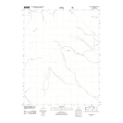
2011 Map of Lime Creek
USGS Topo · Published 2011About this map
The Esperanza Claims Group Mine stands as a notable industrial marker in this high-elevation landscape of Saguache County, situated near Sanderson Gulch. This 2011 survey documents a rugged drainage network defined by the confluence of several key waterways, including Biedell Creek, Lime Creek, and Cottonwood Creek. The presence of Fullerton Park in the northwest and Red Rock Canyon in the northeast highlights the distinct topographic transitions of the area. A network of rural routes, such as County Hwy 41G and County Road N 42, provides the primary framework for navigating these drainages, where seasonal watercourses like Poison Gulch and Sawlog Creek carve through the terrain. The map captures a region primarily utilized for resource extraction and ranching, reflecting the enduring rural character of southern Colorado.
Find a feature on this map
22 named features on this map. Tap any name to fly to it.
Don’t see what you’re looking for? This feature index may not catch every label — zoom into the map to look around manually.
Map Details
Editions of this 2011 Lime Creek Map
This is the sole edition of this map. No revisions or reprints were ever made.
Other maps of this area

1915 · Del Norte
USGS Topo · 1:125,000

1917 · Del Norte
USGS Topo · 1:125,000

1945 · Durango
USGS Topo · 1:250,000

1953 · Durango
USGS Topo · 1:250,000

1954 · Durango
USGS Topo · 1:250,000

1956 · Montrose
USGS Topo · 1:250,000

1959 · Montrose
USGS Topo · 1:250,000

1960 · Montrose
USGS Topo · 1:250,000

1961 · Durango
USGS Topo · 1:250,000

1963 · Durango
USGS Topo · 1:250,000