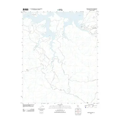
2012 Map of Lime Mountain
USGS Topo · Published 2012About this map
Lake Nacimiento dominates the northern landscape of this San Luis Obispo County region, where the intricate shoreline meets a network of winding mountain roads and seasonal creeks. The 2012 topography illustrates the interface between recreation and rural industry, featuring Heritage Lake Marina and Turkey Cove Marina alongside the more remote interior. Toward the south, the terrain rises toward Lime Mountain and the settlement of Klau, an area defined by its history of extraction as suggested by the presence of Klau Mine Rd. This modern survey preserves the locations of established landmarks like Camp Natoma, accessed via Camp Natoma Rd N, and highlights the importance of named drainages such as Las Tablas Cr and Franklin Cr in shaping the local geography. Long-standing ranching interests are evident through property-named routes like Gallegos Ranch Rd and Angus Ranch Way.
Find a feature on this map
28 named features on this map. Tap any name to fly to it.
Don’t see what you’re looking for? This feature index may not catch every label — zoom into the map to look around manually.
Map Details
Editions of this 2012 Lime Mountain Map
This is the sole edition of this map. No revisions or reprints were ever made.
Other maps of this area

1919 · Bryson
USGS Topo · 1:62,500

1919 · Bradley
USGS Topo · 1:62,500

1919 · Adelaida
USGS Topo · 1:62,500

1919 · San Simeon
USGS Topo · 1:62,500

1932 · Adelaida
USGS Topo · 1:62,500

1937 · San Simeon
USGS Topo · 1:62,500

1941 · Bradley
USGS Topo · 1:62,500

1941 · Bryson
USGS Topo · 1:62,500

1942 · Adelaida
USGS Topo · 1:62,500

1942 · Bryson
USGS Topo · 1:62,500