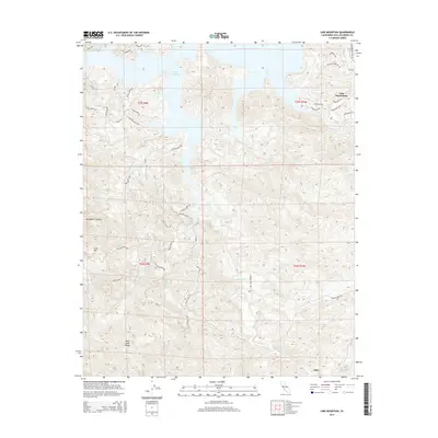
2015 Map of Lime Mountain
USGS Topo · Published 2015About this map
Lake Nacimiento dominates the northern reaches of this landscape, its winding fingers reaching into the foothills of the Santa Lucia Range. The terrain is characterized by complex drainages including Snake Cr, Dip Cr, and Las Tablas Cr, which carve through the high elevations near Lime Mtn. The settlement of Klau sits in the southeast, historically significant for its proximity to local mineral deposits and ranching operations. Modern residential developments are evident near the lakeshore, traced by roads like Heritage Rd and Shoreline Dr. Further inland, the map preserves the names of older rural connections such as Gallegos Ranch Rd and Cow Camp Loop, illustrating the transition from traditional high-country ranching to a landscape centered on the reservoir. The southwestern corner is marked by the steep descent of McLaughlin Canyon, highlighting the topographic variety of the San Luis Obispo County interior.
Find a feature on this map
47 named features on this map. Tap any name to fly to it.
Don’t see what you’re looking for? This feature index may not catch every label — zoom into the map to look around manually.
Map Details
Editions of this 2015 Lime Mountain Map
This is the sole edition of this map. No revisions or reprints were ever made.
Other maps of this area

1919 · Bryson
USGS Topo · 1:62,500

1919 · Bradley
USGS Topo · 1:62,500

1919 · Adelaida
USGS Topo · 1:62,500

1919 · San Simeon
USGS Topo · 1:62,500

1932 · Adelaida
USGS Topo · 1:62,500

1937 · San Simeon
USGS Topo · 1:62,500

1941 · Bradley
USGS Topo · 1:62,500

1941 · Bryson
USGS Topo · 1:62,500

1942 · Adelaida
USGS Topo · 1:62,500

1942 · Bryson
USGS Topo · 1:62,500