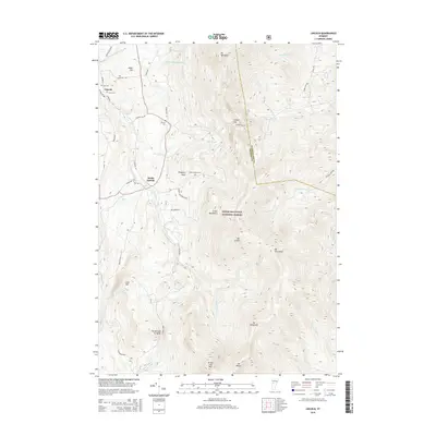
2015 Map of Lincoln
USGS Topo · Published 2015About this map
Lincoln and South Lincoln anchor the western valleys of this 2015 survey, where the New Haven River and its numerous tributaries like Cota Brook and Alder Brook descend from the high peaks. The topography is dominated by the massive ridge of the Green Mountain National Forest, featuring a sequence of major summits including Mt Abraham, Mt Grant, and Mt Wilson. These peaks form a formidable natural barrier, with the Lincoln Gap serving as a vital passage for Lincoln Gap Rd crossing between Addison and Washington counties.
Find a feature on this map
52 named features on this map. Tap any name to fly to it.
Don’t see what you’re looking for? This feature index may not catch every label — zoom into the map to look around manually.
Map Details
Editions of this 2015 Lincoln Map
This is the sole edition of this map. No revisions or reprints were ever made.
Other maps of this area

1902 · Brandon
USGS Topo · 1:62,500

1903 · Middlebury
USGS Topo · 1:62,500

1904 · Brandon
USGS Topo · 1:62,500

1905 · Middlebury
USGS Topo · 1:62,500

1915 · Rochester
USGS Topo · 1:62,500

1917 · Rochester
USGS Topo · 1:62,500

1919 · Lincoln Mountain
USGS Topo · 1:62,500

1920 · Lincoln Mountain
USGS Topo · 1:48,000

1920 · Brandon
USGS Topo · 1:62,500

1920 · Middlebury
USGS Topo · 1:62,500