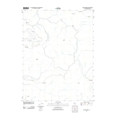
2012 Map of Lincoln Ridge
USGS Topo · Published 2012About this map
Branscomb serves as the primary point of settlement in this coastal mountain landscape, situated where Branscomb Rd meets the headwaters of the S Fork Eel River. The geography is defined by a dense network of ridges and drainages, most notably the prominent Lincoln Ridge and Elkhorn Ridge, which separate various tributaries. Agricultural history is evident in the presence of Baptiste Orchard and Strauss Orchard, suggesting a localized economy tied to the land.
Find a feature on this map
46 named features on this map. Tap any name to fly to it.
Don’t see what you’re looking for? This feature index may not catch every label — zoom into the map to look around manually.
Map Details
Editions of this 2012 Lincoln Ridge Map
This is the sole edition of this map. No revisions or reprints were ever made.
Other maps of this area

1920 · Cummings
USGS Topo · 1:62,500

1921 · Westport
USGS Topo · 1:62,500

1921 · Branscomb
USGS Topo · 1:62,500

1950 · Piercy
USGS Topo · 1:62,500

1950 · Cape Vizcaino
USGS Topo · 1:62,500

1951 · Cape Vizcaino
USGS Topo · 1:62,500

1951 · Branscomb
USGS Topo · 1:62,500

1952 · Leggett
USGS Topo · 1:62,500

1957 · Ukiah
USGS Topo · 1:250,000

1960 · Ukiah
USGS Topo · 1:250,000