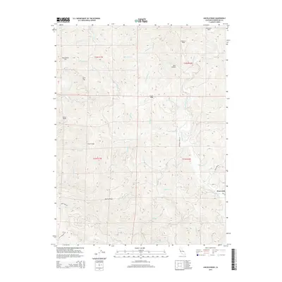
2015 Map of Lincoln Ridge
USGS Topo · Published 2015About this map
Branscomb sits along the S Fork Eel River in this detailed 2015 study of the Mendocino County interior. The landscape is defined by a series of prominent northwest-trending elevations, including Lincoln Ridge, Alviso Ridge, and Packard Ridge, which separate numerous deep-cut watercourses. This map documents a dense network of drainages such as Hollow Tree Cr, Wages Cr, and Redwood Cr that feed into the larger river systems. Significant transit points like Huckleberry Pass and Lynch Gap provide passage through the steep terrain. The Presence of Wilderness Lodge Rd and Kenny Creek Rd reflects the rural, timbered character of this portion of Northern California, where topographic contours reveal the complex relationship between the ridgelines and the winding Horseshoe Bend of the Eel River.
Find a feature on this map
47 named features on this map. Tap any name to fly to it.
Don’t see what you’re looking for? This feature index may not catch every label — zoom into the map to look around manually.
Map Details
Editions of this 2015 Lincoln Ridge Map
This is the sole edition of this map. No revisions or reprints were ever made.
Other maps of this area

1920 · Cummings
USGS Topo · 1:62,500

1921 · Westport
USGS Topo · 1:62,500

1921 · Branscomb
USGS Topo · 1:62,500

1950 · Piercy
USGS Topo · 1:62,500

1950 · Cape Vizcaino
USGS Topo · 1:62,500

1951 · Cape Vizcaino
USGS Topo · 1:62,500

1951 · Branscomb
USGS Topo · 1:62,500

1952 · Leggett
USGS Topo · 1:62,500

1957 · Ukiah
USGS Topo · 1:250,000

1960 · Ukiah
USGS Topo · 1:250,000