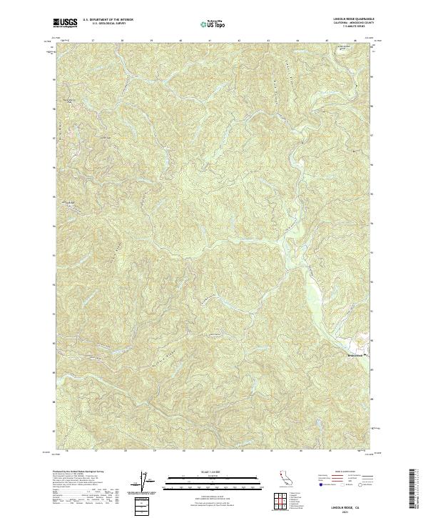
2021 Map of Lincoln Ridge
USGS Topo · Published 2021About this map
Branscomb serves as the primary focal point of this coastal range landscape, situated where the S Fork Eel River winds through the eastern portion of the terrain. The map captures a complex system of interconnected ridges and canyons that define Mendocino County's topography. Prominent elevations such as Elkhorn Ridge, Lincoln Ridge, and Packard Ridge run throughout the area, separated by steep drainages like Dark Canyon and Hollow Tree Cr.
Find a feature on this map
56 named features on this map. Tap any name to fly to it.
Don’t see what you’re looking for? This feature index may not catch every label — zoom into the map to look around manually.
Map Details
Editions of this 2021 Lincoln Ridge Map
This is the sole edition of this map. No revisions or reprints were ever made.
Other maps of this area

1920 · Cummings
USGS Topo · 1:62,500

1921 · Westport
USGS Topo · 1:62,500

1921 · Branscomb
USGS Topo · 1:62,500

1950 · Piercy
USGS Topo · 1:62,500

1950 · Cape Vizcaino
USGS Topo · 1:62,500

1951 · Cape Vizcaino
USGS Topo · 1:62,500

1951 · Branscomb
USGS Topo · 1:62,500

1952 · Leggett
USGS Topo · 1:62,500

1957 · Ukiah
USGS Topo · 1:250,000

1960 · Ukiah
USGS Topo · 1:250,000