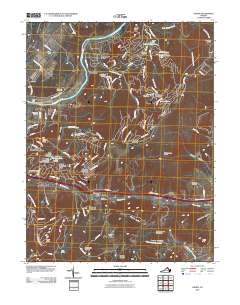
2010 Map of Linden
USGS Topo · Published 2010About this map
The Shenandoah River snakes through the northern portion of this quadrangle, defining a landscape where valley agriculture meets the rising slopes of the Blue Ridge. Near the river, the small settlement of Howellsville and the Morgans Ford Bridge anchor the local geography, while residential developments like Shenandoah Farms and Skyland Estates illustrate more modern hilltop growth. Further south, the historic mountain passage at Manassas Gap serves as a vital corridor for both the Goose Creek drainage and major transportation routes through the village of Linden.
Find a feature on this map
114 named features on this map. Tap any name to fly to it.
Don’t see what you’re looking for? This feature index may not catch every label — zoom into the map to look around manually.
Map Details
Editions of this 2010 Linden Map
This is the sole edition of this map. No revisions or reprints were ever made.
Other maps of this area

1884 · Harpers Ferry
USGS Topo · 1:125,000

1891 · Harpers Ferry
USGS Topo · 1:125,000

1893 · Luray
USGS Topo · 1:125,000

1893 · Harpers Ferry
USGS Topo · 1:125,000

1894 · Warrenton
USGS Topo · 1:125,000

1894 · Winchester
USGS Topo · 1:125,000

1905 · Luray
USGS Topo · 1:125,000

1916 · Berryville
USGS Topo · 1:62,500

1938 · Winchester
USGS Topo · 1:48,000

1939 · Front Royal
USGS Topo · 1:48,000