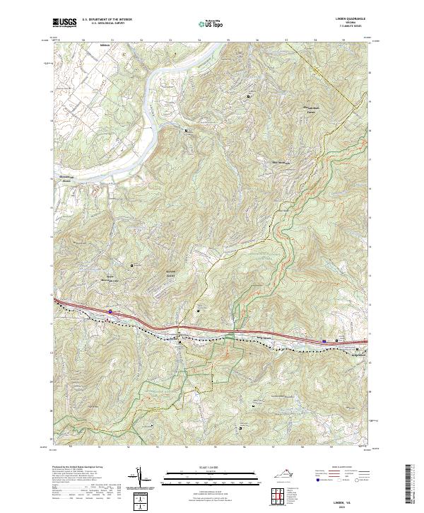
2023 Map of Linden
USGS Topo · Published 2023About this map
Linden and the surrounding gap in the Blue Ridge mountains define this area where the Manassas Run and Goose Creek headwaters meet. The terrain is marked by significant elevation changes, from the Shenandoah River in the northwest to the heights of Hardscrabble Mountain and High Knob. This modern survey illustrates the proximity of contemporary mountain developments like Skyland Estates, Shenandoah Farms, and Blue Mountain to the path of the Appalachian National Scenic Trail.
Find a feature on this map
53 named features on this map. Tap any name to fly to it.
Don’t see what you’re looking for? This feature index may not catch every label — zoom into the map to look around manually.
Map Details
Editions of this 2023 Linden Map
This is the sole edition of this map. No revisions or reprints were ever made.
Other maps of this area

1884 · Harpers Ferry
USGS Topo · 1:125,000

1891 · Harpers Ferry
USGS Topo · 1:125,000

1893 · Luray
USGS Topo · 1:125,000

1893 · Harpers Ferry
USGS Topo · 1:125,000

1894 · Warrenton
USGS Topo · 1:125,000

1894 · Winchester
USGS Topo · 1:125,000

1905 · Luray
USGS Topo · 1:125,000

1916 · Berryville
USGS Topo · 1:62,500

1938 · Winchester
USGS Topo · 1:48,000

1939 · Front Royal
USGS Topo · 1:48,000