Loading...
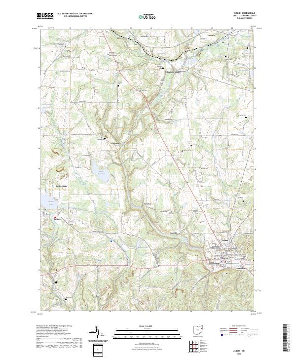
Loading map...2023 Map of Lisbon
USGS Topo · Published 2023About this map
The Columbiana County Courthouse serves as the focal point of Lisbon, a town defined by its role as a regional hub in eastern Ohio. The surrounding landscape is intricately carved by the Middle Fork Little Beaver Creek and its many tributaries, including Stone Mill Run and Cold Run. These waterways historically dictated the placement of early settlements like Logtown, Coleman, and Teegarden.
Find a feature on this map
127 named features on this map. Tap any name to fly to it.
Don’t see what you’re looking for? This feature index may not catch every label — zoom into the map to look around manually.
Map Details
Date Portrayed2023
Date Published2023
PublisherU.S. Geological Survey
Map TypeTopographic
Scale1:24000
Physical Dimensions24 x 29 inches
Editions of this 2023 Lisbon Map
This is the sole edition of this map. No revisions or reprints were ever made.
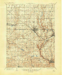
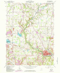
Historical Maps of Franklin Square Through Time
3 maps found
Featured Locations
Source Details
SourceU.S. Geological Survey
CopyrightPublic Domain