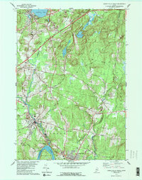
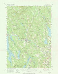
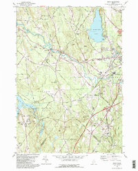
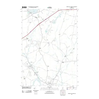
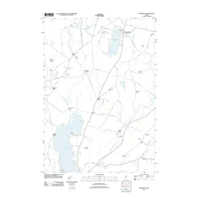
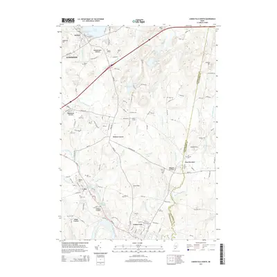
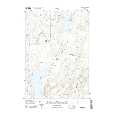
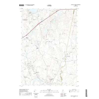
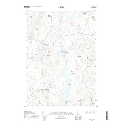
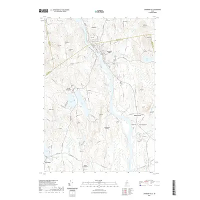
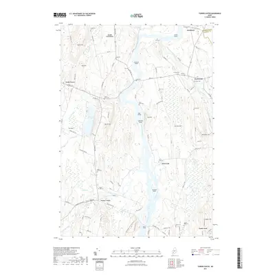
1979 Map of Lisbon Falls North
USGS Topo · Published 1989About this map
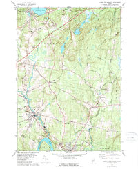
The Androscoggin River defines the southwestern edge of this landscape, where the industrial and residential centers of Lisbon and Lisbon Falls are situated. The 1970s transportation network is clearly visible, featuring the sweep of the Maine Turnpike and the Maine Central railroad corridor. Further north, the settlement of Sabattus sits at the base of Sabattus Pond, a major water body that feeds the Sabattus River. Rural life is detailed through numerous small hamlets and family-named intersections such as Drinkwater Corner, Robinson Corner, and Higgins Corner. The map reveals a high density of small burial grounds, including Furbush Cem and Sanborn Cem, reflecting the deep-rooted local genealogy of Androscoggin County. Wooded hills like Maxwell Hill and Whitten Hill contrast with the active resource extraction seen at various Gravel Pits throughout the townships.
Find a feature on this map
60 named features on this map. Tap any name to fly to it.
Don’t see what you’re looking for? This feature index may not catch every label — zoom into the map to look around manually.
Map Details
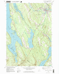
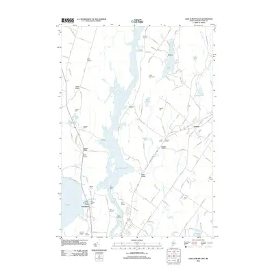
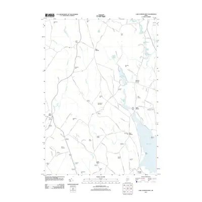
Editions of this 1979 Lisbon Falls North Map
3 editions found
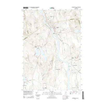
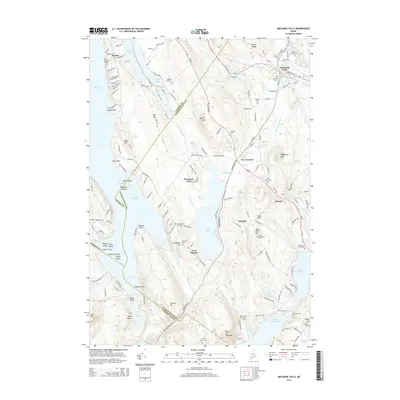
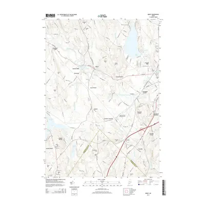
Historical Maps of Lewiston Through Time
56 maps found
1908 Poland
Androscoggin County, ME

1910 Livermore
Androscoggin County, ME
1912 Livermore
Androscoggin County, ME

1940 Poland
Androscoggin County, ME

1941 Livermore
Androscoggin County, ME

1942 Poland
Androscoggin County, ME
1956 Poland
Androscoggin County, ME
1967 Livermore Falls
Androscoggin County, ME
1967 Turner Center
Androscoggin County, ME
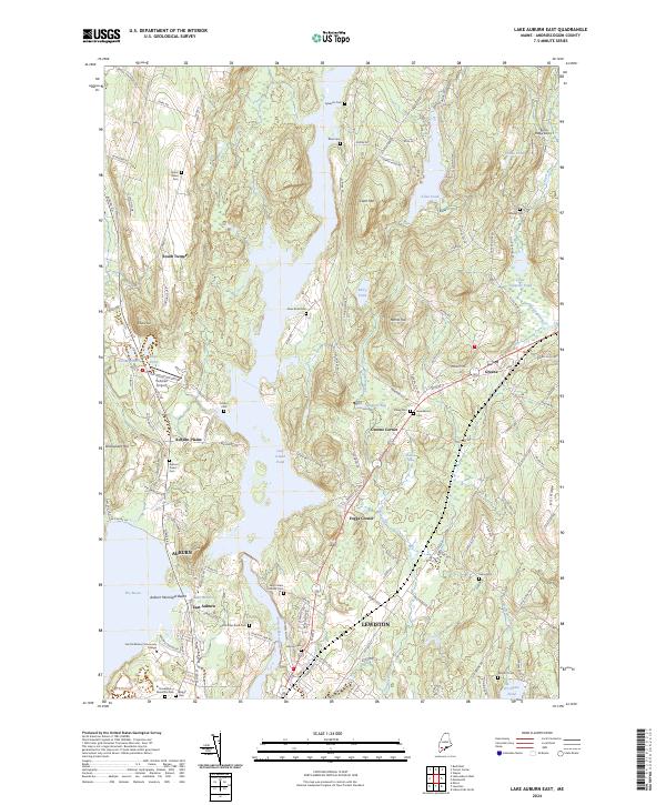
1979 Lake Auburn East
Androscoggin County, ME
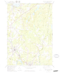
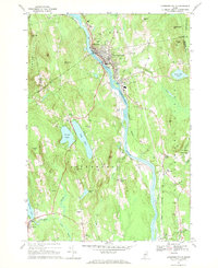
1979 Lisbon Falls North
Androscoggin County, ME
1979 Monmouth
Androscoggin County, ME
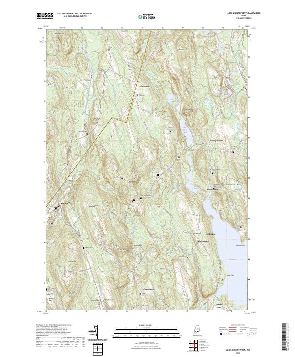
1981 Lake Auburn West
Androscoggin County, ME
1981 Mechanic Falls
Androscoggin County, ME
1981 Minot
Androscoggin County, ME
1995 Mechanic Falls
Androscoggin County, ME
2011 Lake Auburn East
Androscoggin County, ME
2011 Lake Auburn West
Androscoggin County, ME
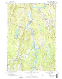
2011 Lisbon Falls North
Androscoggin County, ME
2011 Livermore Falls
Androscoggin County, ME
2011 Mechanic Falls
Androscoggin County, ME
2011 Minot
Androscoggin County, ME
2011 Monmouth
Androscoggin County, ME
2011 Turner Center
Androscoggin County, ME
2014 Lake Auburn East
Androscoggin County, ME
2014 Lake Auburn West
Androscoggin County, ME
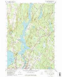
2014 Lisbon Falls North
Androscoggin County, ME
2014 Livermore Falls
Androscoggin County, ME
2014 Mechanic Falls
Androscoggin County, ME
2014 Minot
Androscoggin County, ME
2014 Monmouth
Androscoggin County, ME
2014 Turner Center
Androscoggin County, ME
2018 Lake Auburn East
Androscoggin County, ME
2018 Lake Auburn West
Androscoggin County, ME
2018 Lisbon Falls North
Androscoggin County, ME

2018 Livermore Falls
Androscoggin County, ME
2018 Mechanic Falls
Androscoggin County, ME
2018 Minot
Androscoggin County, ME
2018 Monmouth
Androscoggin County, ME
2018 Turner Center
Androscoggin County, ME
2021 Lake Auburn East
Androscoggin County, ME
2021 Lake Auburn West
Androscoggin County, ME
2021 Lisbon Falls North
Androscoggin County, ME
2021 Livermore Falls
Androscoggin County, ME
2021 Mechanic Falls
Androscoggin County, ME
2021 Minot
Androscoggin County, ME
2021 Monmouth
Androscoggin County, ME
2021 Turner Center
Androscoggin County, ME
2024 Lake Auburn East
Androscoggin County, ME
2024 Lake Auburn West
Androscoggin County, ME
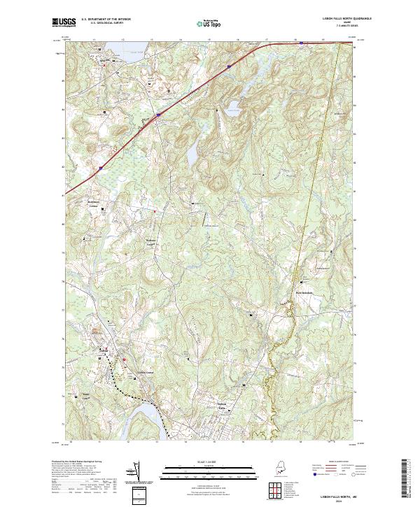
2024 Lisbon Falls North
Androscoggin County, ME
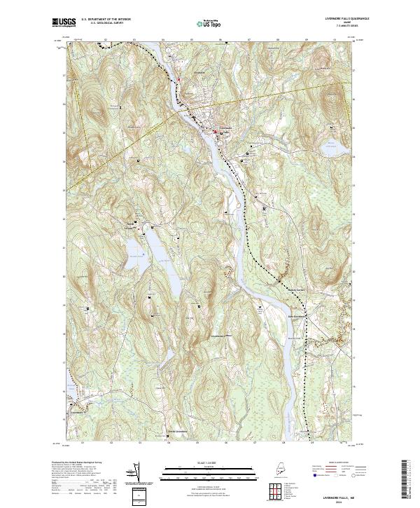
2024 Livermore Falls
Androscoggin County, ME
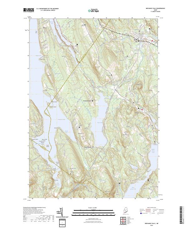
2024 Mechanic Falls
Androscoggin County, ME
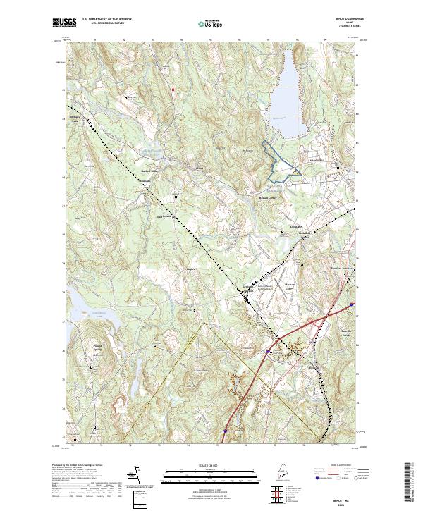
2024 Minot
Androscoggin County, ME
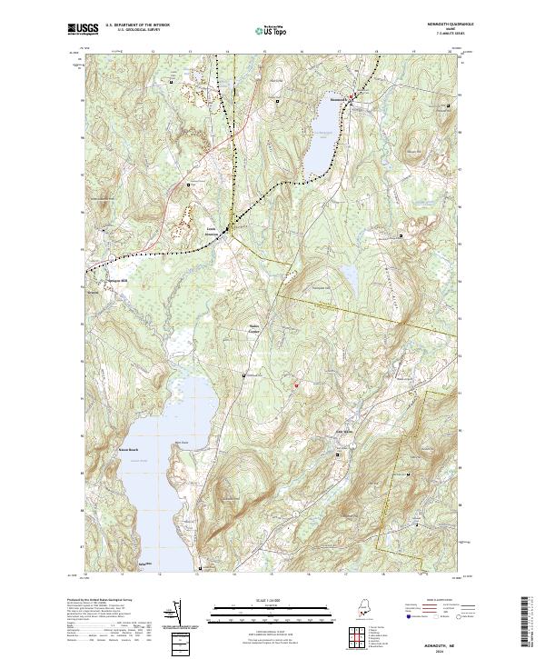
2024 Monmouth
Androscoggin County, ME
2024 Turner Center
Androscoggin County, ME