
1962 Map of Lisbon SW
USGS Topo · Published 1964About this map
Whitestone Hills rise from the prairie landscape of southeastern North Dakota, anchoring a rural territory where the borders of Bale, Aliceton, and Willow townships meet. This 1960s survey documents a landscape defined by glacial features and the winding course of Dead Colt Creek. The agricultural character of the era is evident in the section-line roads and scattered farmsteads, while the Flowing Well south of the creek suggests the importance of artesian water sources in this region.
Find a feature on this map
12 named features on this map. Tap any name to fly to it.
Don’t see what you’re looking for? This feature index may not catch every label — zoom into the map to look around manually.
Map Details
Editions of this 1962 Lisbon SW Map
This is the sole edition of this map. No revisions or reprints were ever made.
Other maps of this area

1953 · Fargo
USGS Topo · 1:250,000

1956 · Fargo
USGS Topo · 1:250,000

1957 · Stirum
USGS Topo · 1:24,000

1957 · Elliott SE
USGS Topo · 1:24,000

1960 · Lisbon SE
USGS Topo · 1:24,000

1960 · Lisbon NE
USGS Topo · 1:24,000

1962 · Lisbon
USGS Topo · 1:24,000
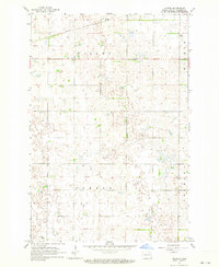
1962 · Hoving
USGS Topo · 1:24,000

1962 · Elliott
USGS Topo · 1:24,000
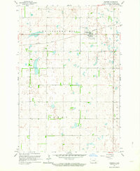
1962 · Gwinner
USGS Topo · 1:24,000