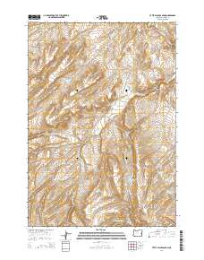
2014 Map of Little Black Canyon
USGS Topo · Published 2014About this map
Little Black Canyon carves through the Malheur County landscape in this 2014 survey, a region defined by an intricate network of drainage creeks and small-scale water storage. The terrain is marked by numerous named catchments, including Annies Reservoir, Negro Rock Reservoir, and Black Canyon Reservoir, which reflect the essential ranching and irrigation infrastructure of eastern Oregon. Local transportation is facilitated by named routes such as Bully Creek Rd and Buckaroo Springs Rd, which connect the high plateaus and creek valleys. The map documents a complex hydrological system where Swamp Creek, Cottonwood Creek, and their various forks feed into localized reservoirs. This modern topographic record captures the enduring pattern of remote high-desert land management, where small water features like Allotment Reservoir Number Three and Hog Creek Reservoir Number One serve as critical landmarks in an otherwise open landscape.
Find a feature on this map
27 named features on this map. Tap any name to fly to it.
Don’t see what you’re looking for? This feature index may not catch every label — zoom into the map to look around manually.
Map Details
Editions of this 2014 Little Black Canyon Map
This is the sole edition of this map. No revisions or reprints were ever made.
Other maps of this area

1955 · Baker
USGS Topo · 1:250,000

1955 · Boise
USGS Topo · 1:250,000

1958 · Boise
USGS Topo · 1:250,000

1959 · Baker
USGS Topo · 1:250,000

1962 · Boise
USGS Topo · 1:250,000

1964 · Brogan
USGS Topo · 1:62,500

1966 · Clover Creek Ranch
USGS Topo · 1:62,500

1966 · Harper
USGS Topo · 1:62,500

1966 · Westfall Butte
USGS Topo · 1:62,500

1980 · Brogan
USGS Topo · 1:100,000