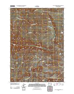
2011 Map of Little Juniper Spring
USGS Topo · Published 2011About this map
Little Juniper Spring and Coyote Spring characterize the arid rangeland of eastern Oregon in this 2011 survey. The landscape is defined by its water management systems, where numerous private impoundments such as Taylors Reservoir, Zotto Reservoir, and Rock Creek Reservoir support cattle ranching operations. The drainage patterns of North Fork Bully Creek and North Fork Indian Creek dictate the placement of local homesteads. These family-named landholdings, including Jenkins Ranch, Hanna Ranch, and the P Hart Ranch, are connected by a sparse network of unpaved thoroughfares like Ben Dire Rd and Gregory Creek Rd. The prevalence of named reservoirs like Jenkins Reservoir Number One and Hanna Reservoir highlights the necessity of irrigation and livestock watering in this high-desert environment, where seasonal creeks and perennial springs remain the primary lifelines for agricultural sustainability.
Find a feature on this map
19 named features on this map. Tap any name to fly to it.
Don’t see what you’re looking for? This feature index may not catch every label — zoom into the map to look around manually.
Map Details
Editions of this 2011 Little Juniper Spring Map
This is the sole edition of this map. No revisions or reprints were ever made.
Other maps of this area

1908 · Ironside Mountain
USGS Topo · 1:125,000

1955 · Baker
USGS Topo · 1:250,000

1955 · Burns
USGS Topo · 1:250,000

1955 · Canyon City
USGS Topo · 1:250,000

1955 · Boise
USGS Topo · 1:250,000

1958 · Burns
USGS Topo · 1:250,000

1958 · Boise
USGS Topo · 1:250,000

1959 · Baker
USGS Topo · 1:250,000

1959 · Burns
USGS Topo · 1:250,000

1959 · Canyon City
USGS Topo · 1:250,000