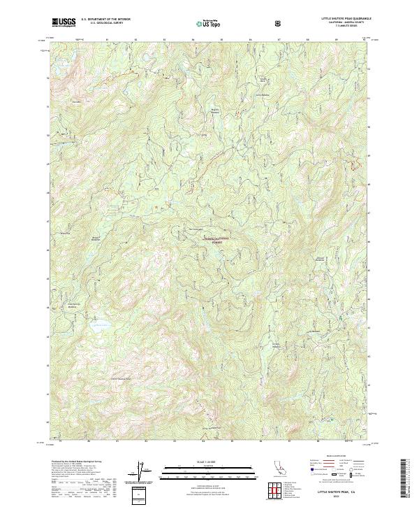
2021 Map of Little Shuteye Peak
USGS Topo · Published 2021About this map
Little Shuteye Peak and the surrounding Sierra National Forest define this high-altitude landscape in the Sierra Nevada. The area is characterized by a complex network of seasonal meadows and alpine lakes, connected by a historical system of pack trails and forest roads. Named features like Muglers Meadow, Grizzly Meadow, and Johnson Meadows indicate the long-standing use of these upland openings, while landmark granite formations such as Globe Rock serve as distinct navigational waypoints.
Find a feature on this map
47 named features on this map. Tap any name to fly to it.
Don’t see what you’re looking for? This feature index may not catch every label — zoom into the map to look around manually.
Map Details
Editions of this 2021 Little Shuteye Peak Map
This is the sole edition of this map. No revisions or reprints were ever made.
Other maps of this area

1897 · Yosemite
USGS Topo · 1:125,000

1900 · Yosemite
USGS Topo · 1:125,000

1901 · Mt. Lyell
USGS Topo · 1:125,000

1903 · Yosemite
USGS Topo · 1:125,000

1904 · Kaiser
USGS Topo · 1:125,000

1909 · Yosemite
USGS Topo · 1:125,000

1912 · Mariposa
USGS Topo · 1:125,000

1947 · Mariposa
USGS Topo · 1:250,000

1948 · Mariposa
USGS Topo · 1:250,000

1953 · Merced Peak
USGS Topo · 1:62,500