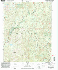
2004 Map of Little Shuteye Peak
USGS Topo · Published 2007About this map
Sierra National Forest dominates this high-altitude landscape in Madera County, where seasonal grazing camps and recreational pockets are scattered among the peaks. Evidence of the region’s pastoral history is found at Topping Cow Camp, Wagners Cow Camp, and the sites of Kates Cow Camp and Swartzels Camp. The area’s rugged character is defined by landmarks like Globe Rock and the high summit of Iron Mountain.
Find a feature on this map
45 named features on this map. Tap any name to fly to it.
Don’t see what you’re looking for? This feature index may not catch every label — zoom into the map to look around manually.
Map Details
Editions of this 2004 Little Shuteye Peak Map
This is the sole edition of this map. No revisions or reprints were ever made.
Other maps of this area

1897 · Yosemite
USGS Topo · 1:125,000

1900 · Yosemite
USGS Topo · 1:125,000

1901 · Mt. Lyell
USGS Topo · 1:125,000

1903 · Yosemite
USGS Topo · 1:125,000

1904 · Kaiser
USGS Topo · 1:125,000

1909 · Yosemite
USGS Topo · 1:125,000

1912 · Mariposa
USGS Topo · 1:125,000

1947 · Mariposa
USGS Topo · 1:250,000

1948 · Mariposa
USGS Topo · 1:250,000

1953 · Merced Peak
USGS Topo · 1:62,500